

Urban Modeling
Generating conformal hexahedral meshes with boundary layers for urban buildings and atmosphere is a challenging task. We have created a tool that reads a .geojson file with 3D building models and creates a CAD model and mesh for the buildings and the urban atmosphere for CFD simulations. We are looking at different strategies to automate the entire CFD model creation process. The same geometry models could also be used for building energy calculations using EnergyPlus. MeshKit’s PostBL tool was used to add boundary layers after the creation of an initial coarse hex mesh. Mesh models for the whitewalled 41 storey, 495 ft, Xerox Centre building and other closeby buildings near Dearborn and Monroe Street are shown below.
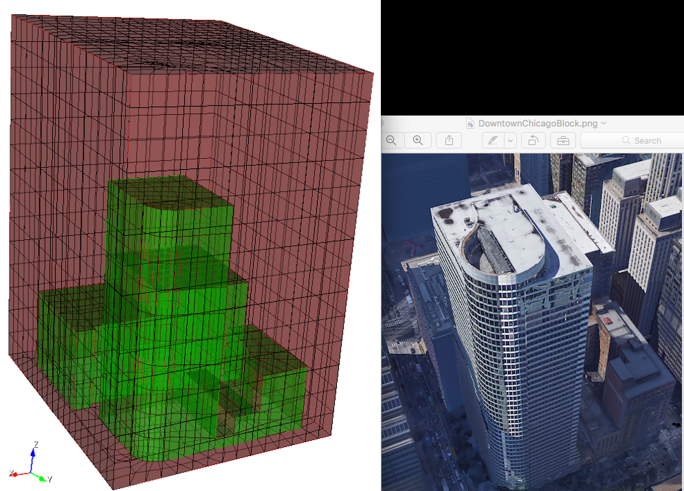
Left: Conformal Hex27 mesh with boundary layers for Nek5000 simulation, Right: Four-block test area in Chicago Loop (central business district) bounded by Adams, Dearborn, Monroe, and Clark.
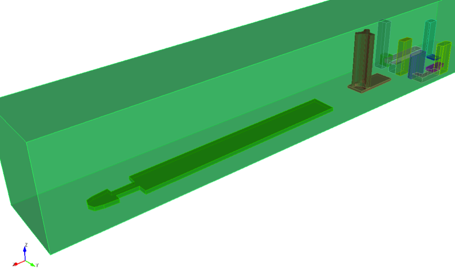
Another model (figure below) consisting of Navy Pier, lake point tower and 5 nearby buildings between the streets: N McClurg Ct., E Ohio St., Lake Shore Dr., and River East Art Promenade Center is created using our tools. Current efforts are focussed on automating the process and creating models for the entire city of Chicago.
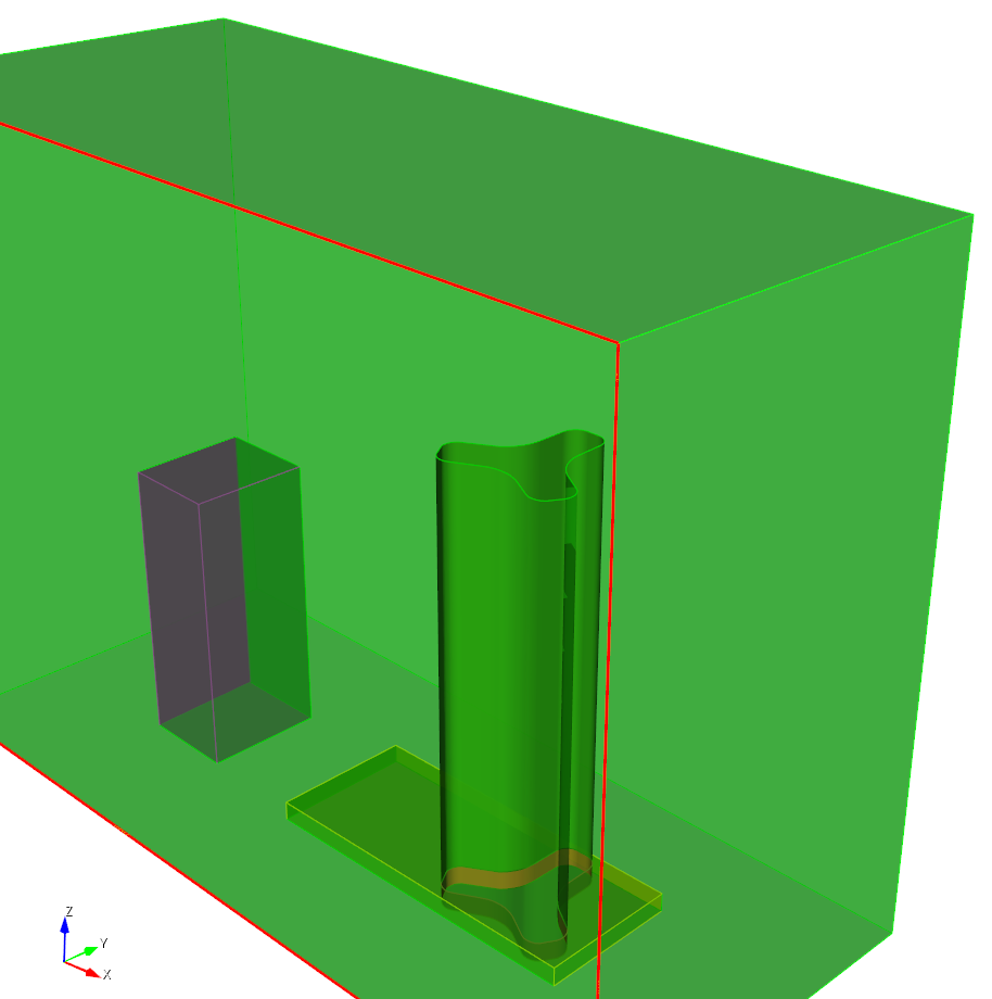
Geometry of Lake Point Tower, building 500 and atmosphee

Conformal hexahedral mesh of Lake Point Tower, building 500 and atmosphere.
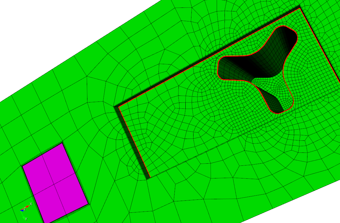
Boundary layers added using PostBL after creation of hex27 mesh for Nek5000 simulations.

Website: http://geojson.io/ can be used to visualize the original building footprint input to tool. .geojson or .shp (building shape file) describing the building footprints of Navy Pier and closeby buildings are shown here.
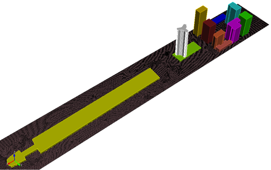
Navy Pier and surrounding buildings
Complement of buildings added for modeling airflow.